
 EN
EN
 ar
ar bg
bg hr
hr cs
cs da
da nl
nl fi
fi fr
fr de
de el
el hi
hi it
it ko
ko no
no pl
pl pt
pt ro
ro ru
ru es
es sv
sv tl
tl iw
iw id
id lv
lv lt
lt sr
sr sk
sk sl
sl uk
uk vi
vi et
et hu
hu th
th tr
tr fa
fa ms
ms hy
hy ka
ka ur
ur bn
bn mn
mn ta
ta kk
kk uz
uz ku
ku
hydrostatic level sensors
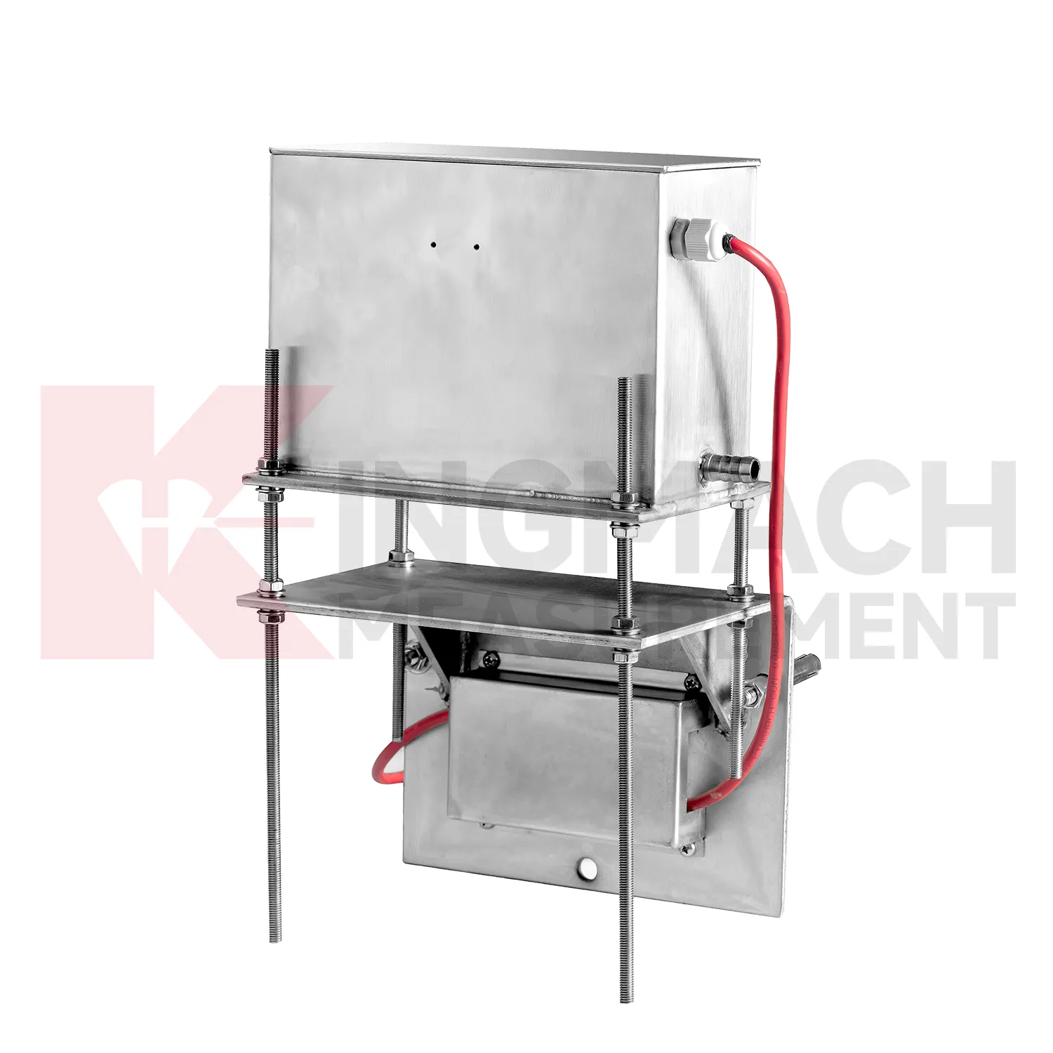
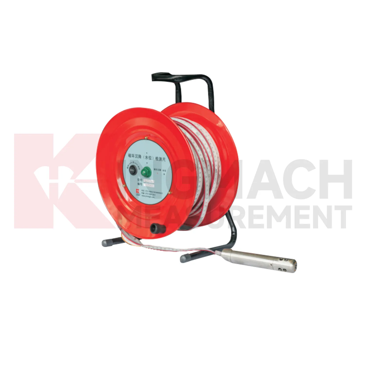
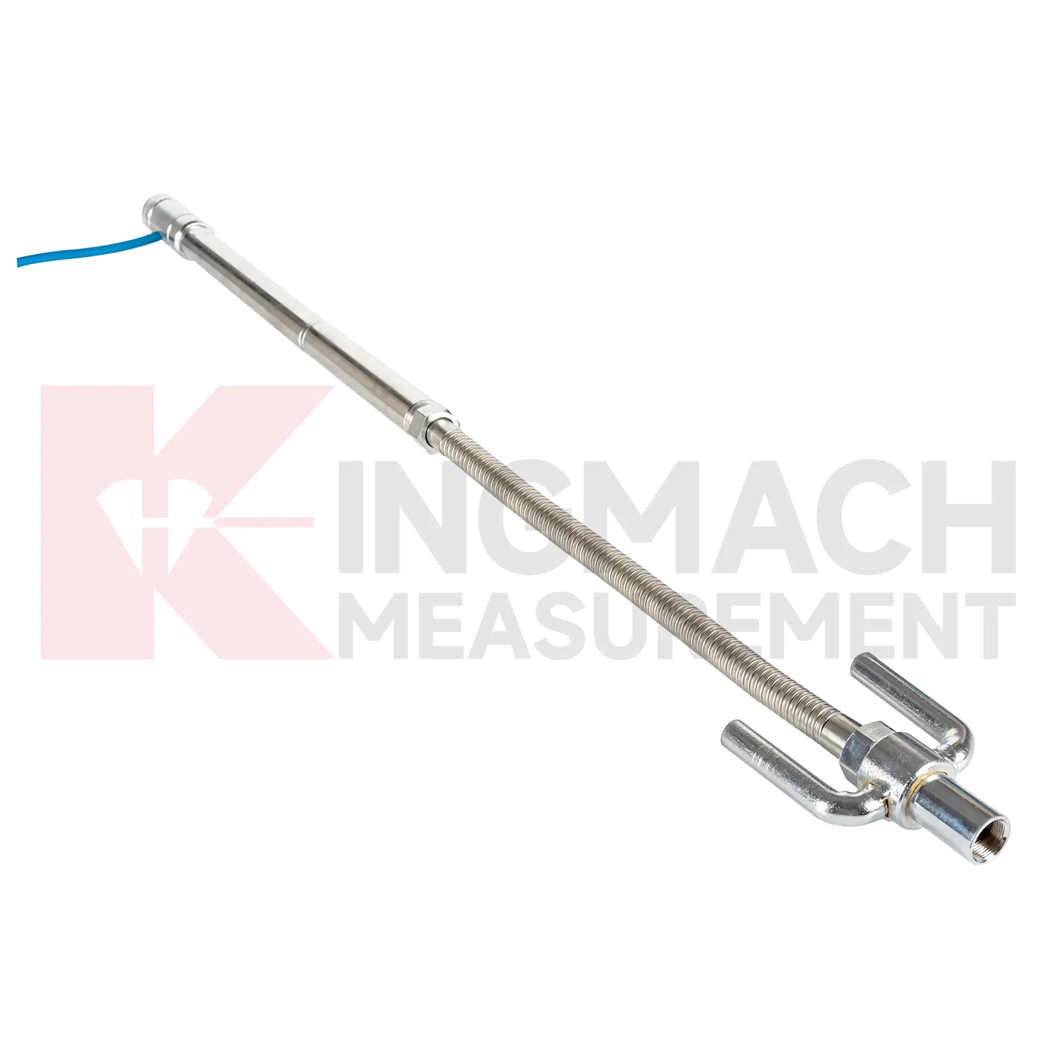
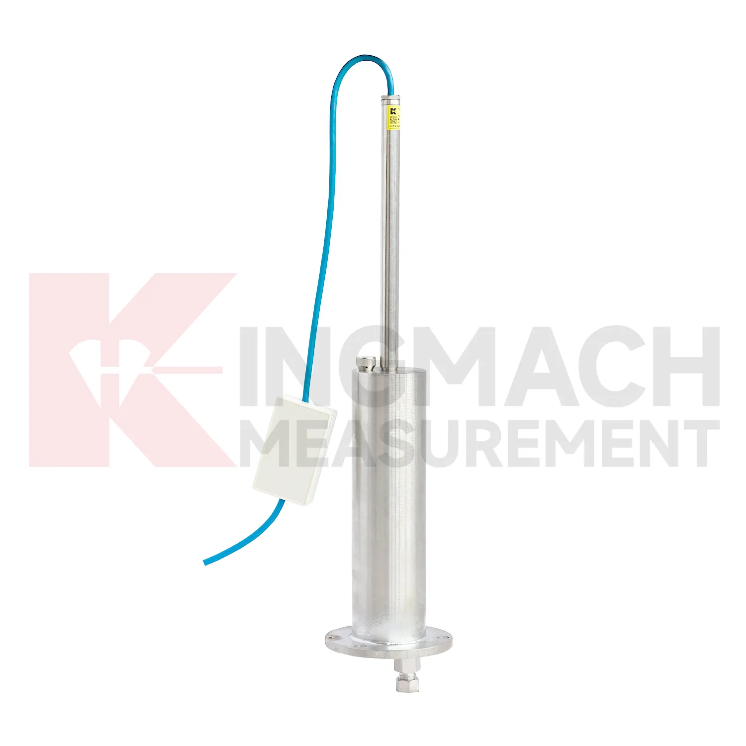
Kingmach hydrostatic level sensors also differ by installation form, and that selection has a direct effect on field reliability. Embedded gauges use settlement plates, rods, conduits, anchors, and side-exit cables. Hydrostatic instruments rely on tubes, liquid level relationships, reference points, and careful elevation control. Magnetic ring settlement water level gauges use boreholes, underground rings, a probe, tape markings, and manual depth readings. These are not interchangeable site layouts. The specification should state whether the sensor will be buried, fixed to a structure, connected through a hydraulic tube, read manually, or tied into RS485 acquisition. It should also define access after backfilling, compaction, dewatering, or traffic operation. A product with excellent accuracy can still produce poor records if the installation form does not match the site. For this reason, installation drawings, photos, channel names, and baseline notes should be prepared before routine settlement data is accepted. The field record should include model, installation form, reference relationship, and first stable reading so later reviewers can understand the measurement context. The field record should include model, installation form, reference relationship, and first stable reading so later reviewers can understand the measurement context. The field record should include model, installation form, reference relationship, and first stable reading so later reviewers can understand the measurement context.
Application of hydrostatic level sensors
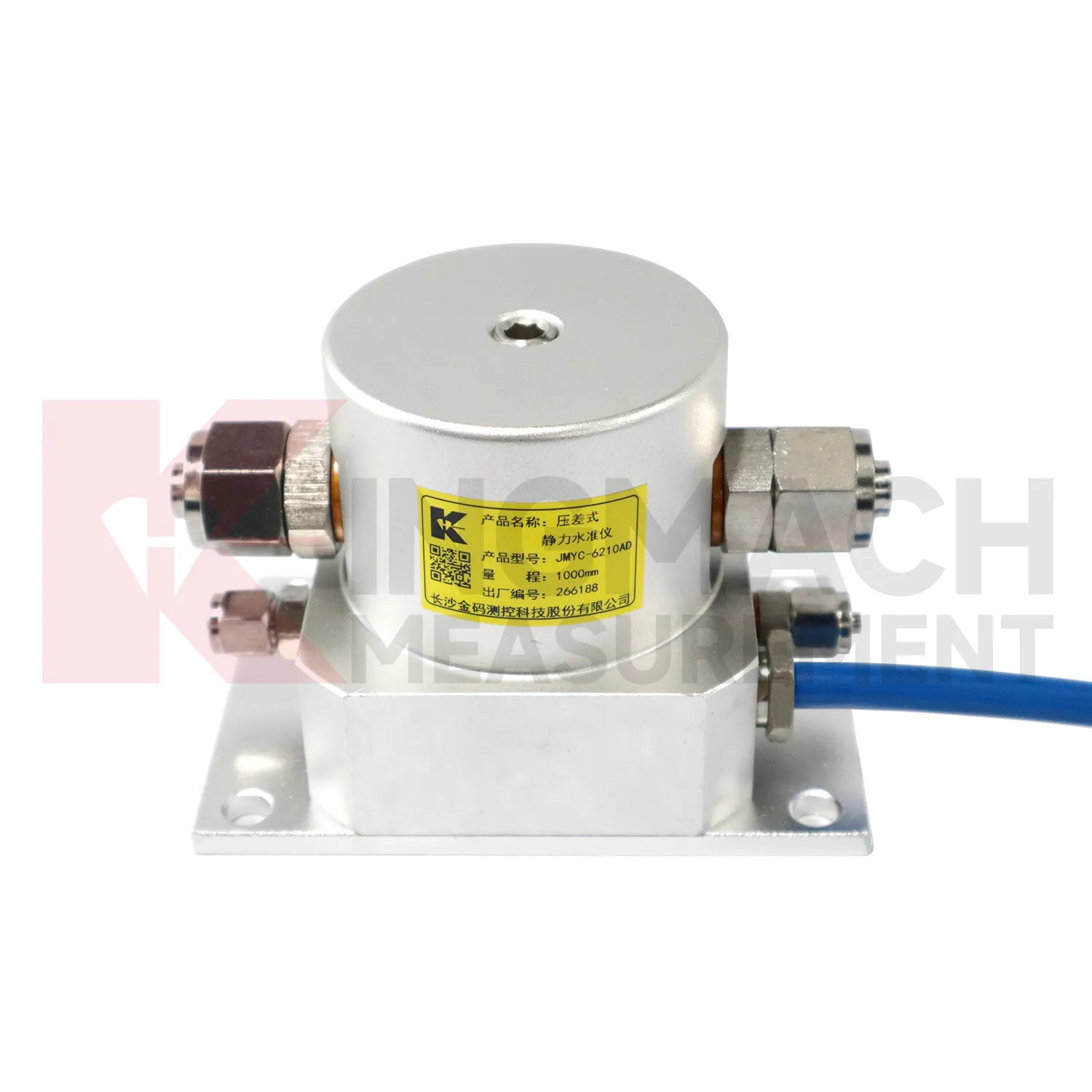
In road and railway subgrade work, hydrostatic level sensors help track how fill, soft ground, and pile-net foundations behave after each construction stage. The risk is not only final settlement; engineers also need to know whether movement slows after compaction, continues after traffic loading, or restarts after rainfall. Kingmach JMDL-47XXAT can measure in-situ subgrade settlement and embankment heave with 100 mm, 200 mm, 300 mm, and 400 mm ranges. For longer pavement profiles, JMYC-62XXAD wide-range differential pressure hydrostatic sensors can compare several points against a reference, with 500 mm to 4000 mm ranges and 0.1 mm resolution. A practical subgrade monitoring plan records fill height, compaction stage, traffic opening date, groundwater condition, and nearby deformation readings. This helps maintenance teams decide whether the roadbed is consolidating normally or needs inspection before track or pavement defects appear. The monitoring team should keep point location, reference condition, construction timing, groundwater or water level notes, and nearby sensor behavior in one review file so the settlement curve can be interpreted without guesswork during later maintenance. The monitoring team should keep point location, reference condition, construction timing, groundwater or water level notes, and nearby sensor behavior in one review file so the settlement curve can be interpreted without guesswork during later maintenance.
The future of hydrostatic level sensors
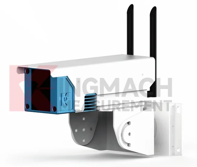
Remote infrastructure will shape the future of hydrostatic level sensors. Many settlement points sit along long railways, expressways, dams, embankments, slopes, and tunnel portals where routine manual reading is expensive and sometimes unsafe. Low-power acquisition, wireless gateways, solar power, and clear cabinet layouts can reduce unnecessary visits while keeping settlement trends visible. Kingmach hydrostatic sensors and settlement gauges that support remote data collection can fit this direction, especially when RS485 channels, power supply, and reference points are documented well. Remote monitoring should still include scheduled field checks, because tubes, probes, cables, and reference points can be affected by weather and construction. The best future setup will combine fewer emergency trips with better evidence for deciding when a site visit is truly needed. The practical goal is to keep settlement data understandable after the original installation crew has left, so owners can compare old and new readings without reconstructing the field history from memory. The same record should remain readable for designers, contractors, owners, and maintenance teams, because settlement monitoring often continues long after the first construction report is finished.
Care & Maintenance of hydrostatic level sensors
Manual-reading hydrostatic level sensors should follow a repeatable procedure every visit. Use the same reference mark, reading direction, tape handling method, waiting time, and data sheet format. This is especially important for magnetic ring settlement gauges and borehole water level readings, where inconsistent field practice can create false changes. Record operator, weather, groundwater condition, borehole obstruction, battery condition, and any unusual sound or visual indication from the alert system. Do not round readings differently from one visit to the next. If manual data is later entered into software, keep the original field notes available for checking. Manual monitoring can be reliable over many years when the process is simple, dated, and boringly consistent. The goal is repeatability, not speed.
Kingmach hydrostatic level sensors
For dams and water-related structures, hydrostatic level sensors must be read together with hydraulic conditions. Dam settlement, bridge deflection near water, dyke compression, and foundation deformation may respond to reservoir level, seepage, rainfall, temperature, and seasonal operation. Kingmach JMQJ-62XXADT and JMDL-62XXADT hydrostatic sensors can support multi-point vertical deformation monitoring, while JMCJ-1003/1005 can add groundwater level and layered settlement information. The field record should identify reference point, tube layout, cabinet position, water level, and inspection date. A reading after heavy rain has a different meaning from the same reading during a dry operating period. Settlement data becomes stronger when it is tied to the water story around the structure. The practical aim is a traceable vertical movement history that can support construction control, maintenance planning, and risk review without rewriting the site story. The practical aim is a traceable vertical movement history that can support construction control, maintenance planning, and risk review without rewriting the site story.
FAQ
Q: What are hydrostatic level sensors used for?
A: They measure vertical deformation such as foundation settlement, subgrade settlement, embankment heave, tunnel bottom uplift, dam settlement, bridge deflection, and building settlement.
Q: Which Kingmach models are related to this group?
A: Common models include JMDL-47XXAT, JMDL-62XXAT/ADT, JMQJ-62XXADT, JMYC-62XXAD, and JMCJ-1003/1005.
Q: What is the difference between single-point and hydrostatic monitoring?
A: Single-point gauges measure settlement at a specific embedded point, while hydrostatic systems compare several points against a reference level through connected liquid paths.
Q: Can the readings be collected remotely?
A: Yes. Several Kingmach hydrostatic and settlement instruments support RS485 output or automatic acquisition systems for remote collection.
Q: Why is the reference point important?
A: Settlement is often calculated relative to a reference. If the reference changes or is poorly documented, the whole settlement curve can become misleading.
Reviews
Andrew Lee
The visualization software is intuitive and powerful. It helps us analyze monitoring data efficiently.
Michael Anderson
The strain gauges and load cells are extremely accurate and stable. They performed very well in our bridge monitoring project. Highly recommended!
Latest Inquiries
To protect the privacy of our buyers, only public service email domains like Gmail, Yahoo, and MSN will be displayed. Additionally, only a limited portion of the inquiry content will be shown.
Charlotte***@gmail.comUnited Arab Emirates
Hi, we require instrumentation cables suitable for harsh environments. Could you advise on specifica...
Emma***@gmail.comCanada
Dear Sir/Madam, we are interested in displacement transducers and settlement sensors for a geotechni...